Lake Tahoe (from an Indian word interpreted to mean “Lake of the Sky”) lies east of the main Sierra crest at more than 6,200 feet elevation. The grandeur of the underwater canyon forming Lake Tahoe came from successive upheavals of the mountain-building processes that raised the Sierra Nevada. After the mountains rose to the east and west, the lake’s basin was formed about 10,000 years ago by glacier melt and lava seeping from volcanic vents, especially to the north.
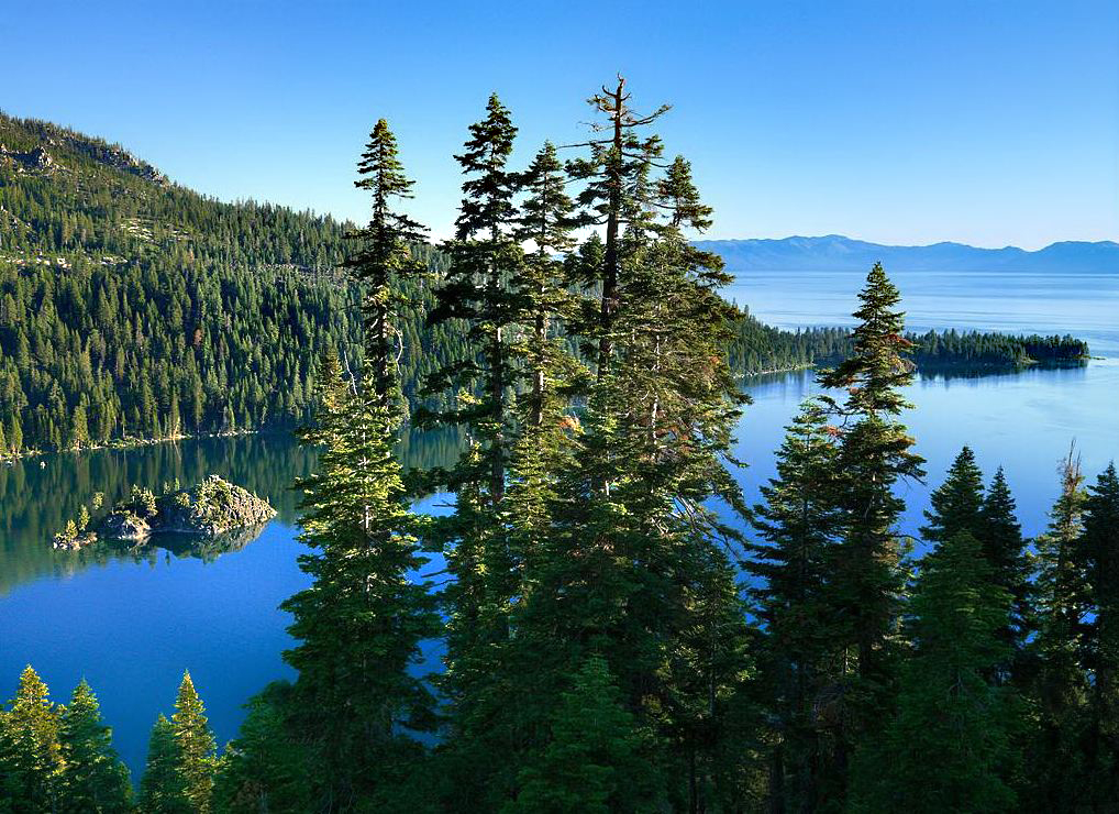
Lake Tahoe’s Emerald Bay is an enclosed fjord long recognized for its spectacular natural beauty. Steep Sierra cliffs plunge into the narrow bay. Geologists believe that the bay was gouged out by glaciers thousands of years ago, but the granite of Fannette Island resisted the glacial ice.
The lake is more than 22 miles long, 12 miles wide and at least 1,600 feet deep. You can see approximately 70 feet into its depths from promontories such as Rubicon Point. The lake level is controlled by a small dam on the Truckee River at Tahoe City. More than 60 streams feed water into the lake, but the Truckee River is the only outflow.
Visit the pages of six state parks and recreation areas at Lake Tahoe. They all afford visitors the chance to enjoy the Lake of the Sky: